Wednesday, November 10, 2010

Untold Tale


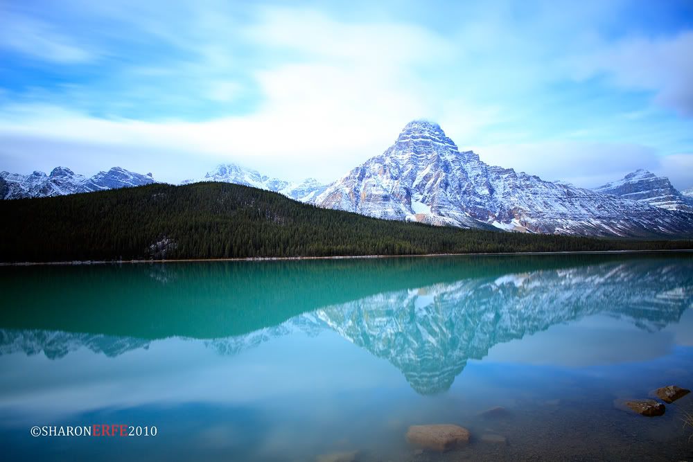
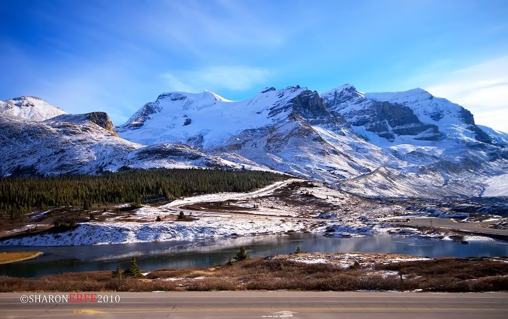
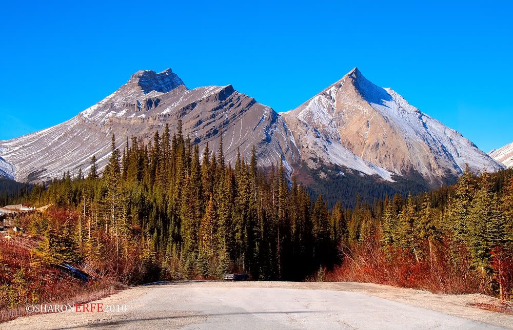
This is another shot of my "Lost Paradise" landscape. This photo for me, speaks a lot of stories that's waiting to be heard. The unhurried flowing river, the gentle moving trees, the quiet clear blue sky, and the proud Canadian rockies. All constitutes this one display of God's masterpiece. :)

Tuesday, November 9, 2010

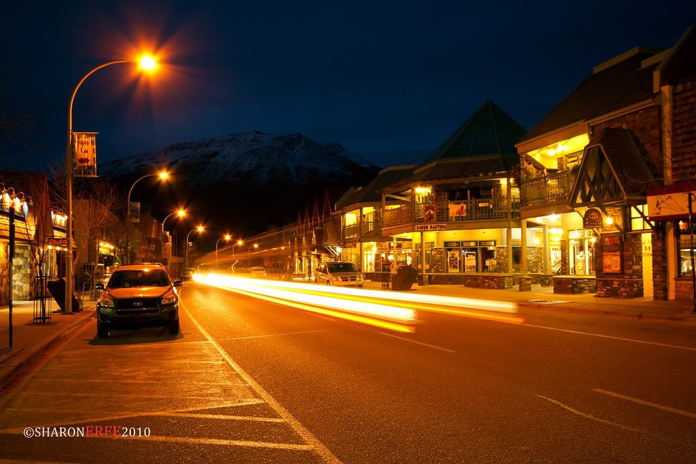
Blue Hour (Jasper Downtown)


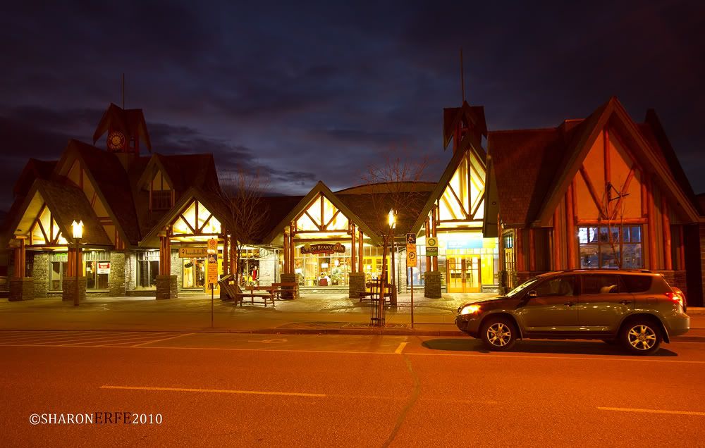
It is the blue hour in downtown Jasper, Canada. Taken around 0600 with 8 seconds exposure time, believe it of not, the sun rises here not earlier than 0800. Makes you wanna sleep in. Cool huh! =)

Monday, November 8, 2010

Hidden Bliss


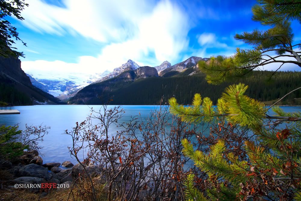
A shot of Lake Louise in Banff, Alberta Canada. Taken with 25 seconds exposure with an ND 400 and a Circular Polarizing filter. It's definitely a must see. Named after the Princess Louise Caroline Alberta (1848–1939), the fourth daughter of Queen Victoria, and the wife of John Campbell, the 9th Duke of Argyll, who was the Governor General of Canada from 1878 to 1883. The province of Alberta is also named for Princess Louise. It a hidden bliss waiting to be conquered.

Sunday, November 7, 2010

Downtown Banff


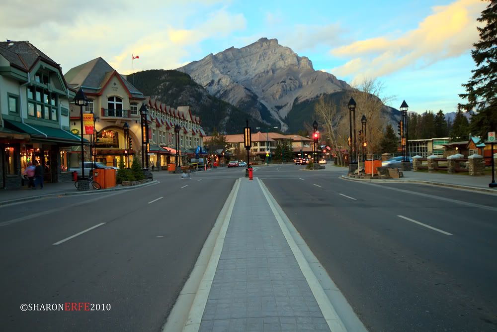
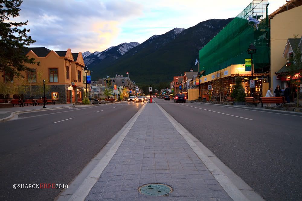
Banff is the largest town in Banff National Park, in Alberta's Rockies, Canada. At 1,463 m (4,800 ft), it is the town with the second highest elevation in Canada, the highest being Lake Louise. It is surrounded by mountains, notably Mount Rundle, Sulphur Mountain, Mount Norquay, and Cascade Mountain, and is situated above Bow Falls near the junction of the Bow and Spray Rivers. Banff is located 126 km (78 mi) west of Calgary and 58 km (36 mi) east of Lake Louise, on the Trans-Canada Highway.
Banff is a resort town and one of Canada's most popular tourist destinations, known for its mountainous surroundings and hot springs. It is a major destination for outdoor sports and features extensive hiking, biking, scrambling and skiing areas within the region. Three ski resorts are located in close proximity: Sunshine Village, Ski Norquay and Lake Louise Mountain Resort.

Piece of Heaven


For those who wants a piece of heaven. :)

Saturday, November 6, 2010

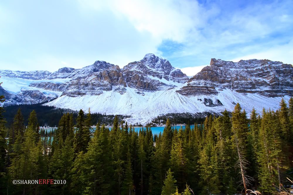
Crowfoot Mountain

Crowfoot Mountain is located in Banff National Park in the Waputik Range. It is situated north of Hector Lake, south of Bow Lake, and east of the Wapta Icefield at the northern end of the Bow River Valley. The spine of the Continental Divide is less than 2 km to the west of this bulky mountain. The scenic Icefields Parkway passes to the east of Crowfoot Mountain and its three summits can be seen from many vantage points along the highway. A highway pullout near Bow Lake provides a classic view of the Crowfoot Glacier on the northeast slope from which the mountain derived its name. This glacier has receded since its naming in the late 1800's and today only two of the three toes of the crow's foot remain visible. However it remains one of the most photographed mountains in the Canadian Rockies and it can be found on many calendar and postcard images.

Thursday, November 4, 2010

Nightscape in Jasper Town


Taken with 8 seconds exposure, having to capture the movement of the light, together with the light shadow of one of the rockies are the best part of this photo. This was taken in the town of Jasper, Alberta. Truly an awesome town, however small. :)

Wednesday, November 3, 2010

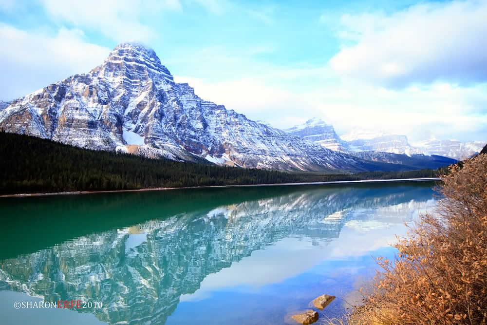
Reflection


Just admiring the reflection showed in the water. :)

Tuesday, November 2, 2010

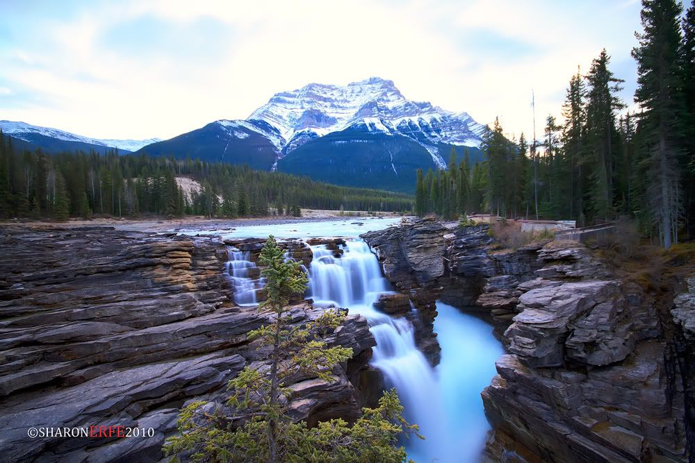
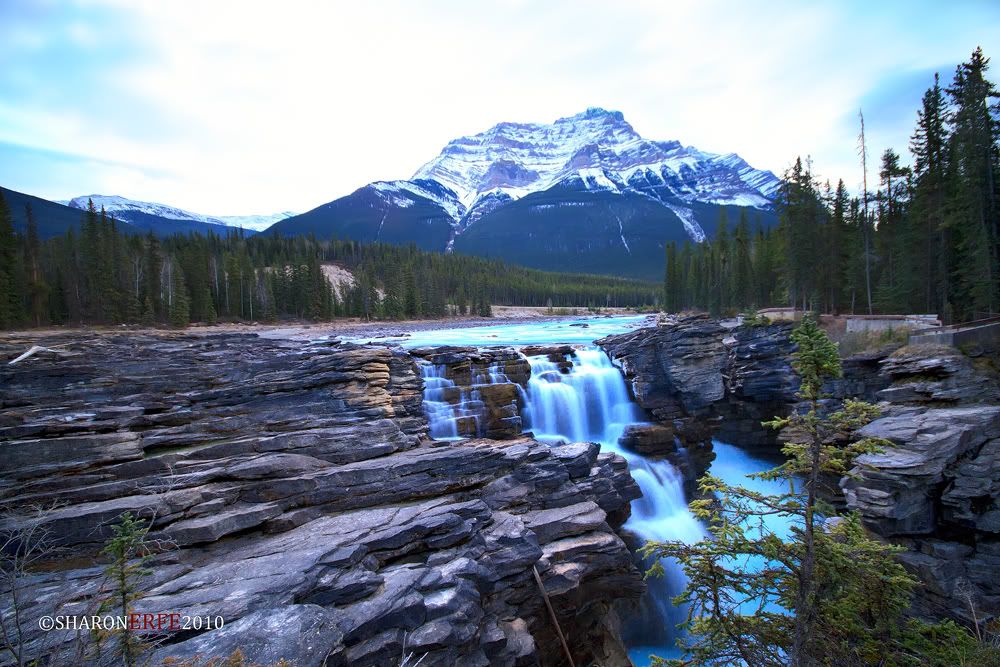
Athabasca Falls


Located approximately 30 kilometers south of the townsite of Jasper, and just west of the Icefields Parkway. A powerful, picturesque waterfall, Athabasca falls are not known so much for the height of the falls (23 meters), as it is known for its force due to the large quantity of water falling into the gorge. Even on a cold morning in the fall, when river levels tend to be at their lowest, copious amounts of water flow over the falls. The river 'falls' over a layer of hard quartzite and through the softer limestone below carving the short gorge and a number of potholes. 
Taken with 30 seconds exposure, F/8. On a cold fall day, temperature was about +1. I was not satisfied with my shot, I could have used a longer exposure time except that my remote suddenly didn't work, crap! Must be of the cold weather. Anyway, I see this is still worth posting. Enjoy! =)


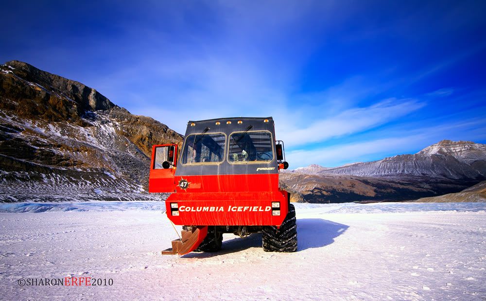
Snow Coach


Massive Brewster Ice Explorers, specially designed for glacial travel, take passengers on a remarkable excursion onto the surface of the Athabasca Glacier. Each 80 minute journey is lead by an experienced driver-guide, who shares a wealth of fascinating information about glaciers, icefields and their impact on our environment. Mid-point in the tour, passengers can safely step out onto the glacier and stand on this powerful ancient ice. Tours depart every 15-30 minutes from the Icefield Centre on the Icefields Parkway.

A snow coach is a specialized passenger transport vehicle, designed to operate over snow or ice, similar to a large, multi-passenger snowcat that is equipped with bus style seating. These vehicles may have multiple sets of very large low pressure tires or they may have tracks. A snow coach may seat 10, 20 or more passengers and are often used for sightseeing tours or for over snow transportation.

Monday, November 1, 2010

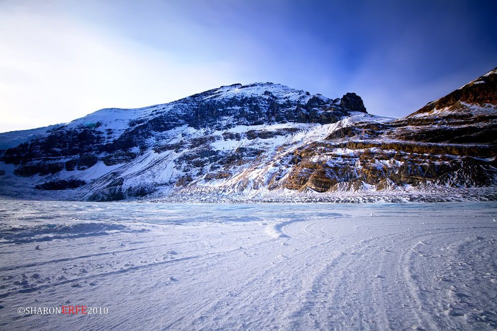
Snow Dome


Snow Dome is a mountain located on the Continental Divide in the Columbia Icefield, at the intersection of Banff National Park, and Jasper National Park, in Alberta, and the British Columbia border in Canada.
The mountain was named in 1898 by J. Norman Collie because its snow-capped massif resembles a dome.
The mountain, reaching a height of 3,456 m (11,339 ft), is possibly a hydrological apex of North America, depending on the definition of the boundary between the Atlantic and Arctic Oceans, and of which of those hydrographic regions Hudson Bay is considered to be a part. (The other apex is Triple Divide Peak in Glacier National Park, Montana, United States.) Water falling on Snow Dome's summit may flow into streams that drain into the Pacific Ocean (via the Columbia River), the Arctic Ocean (via the Athabasca River), and Hudson Bay (via the North Saskatchewan River). The Dome Glacier flows to the north-east, the Stutfield Glacier to the north-west, the Columbia Glacier to the west and Athabasca Glacier flows to the east of the mountain.

Friday, October 29, 2010

Mount Andromeda

Located between Athabasca Glacier and Saskatchewan Glacier on the border of Banff & Jasper parks, Alberta Major headwaters Athabasca & Saskatchewan rivers, Mount Andromeda is located within the Columbia Icefield. The mountain can be seen from the Icefields Parkway (#93) near Sunwapta Pass and is directly southwest of Mount Athabasca. This peak has two summits, the southwest and northeast. Although older guidebooks said they were approximately equal height, BC Basemap clearly shows that the Northeast summit has one more 20m contour line. This summit has many technical snow and ice routes. All routes to the summit are exposed and subjected to considerable rockfall or avalanche danger. 
Mt. Andromeda was named in 1938 by Rex Gibson, former president of the Alpine Club of Canada, after Andromeda, the wife of Perseus.

Athabasca Glacier

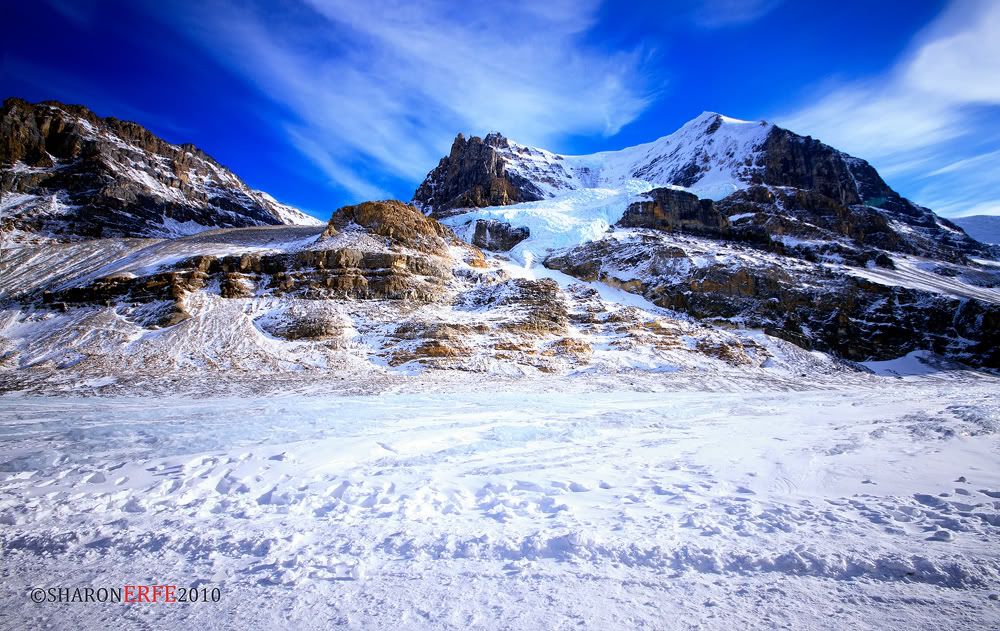
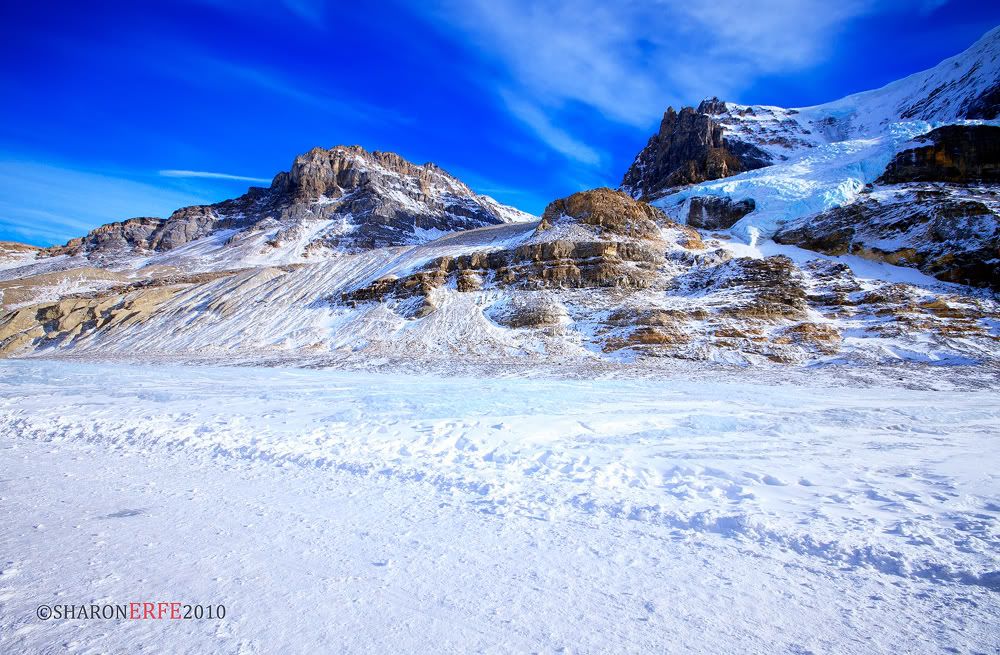
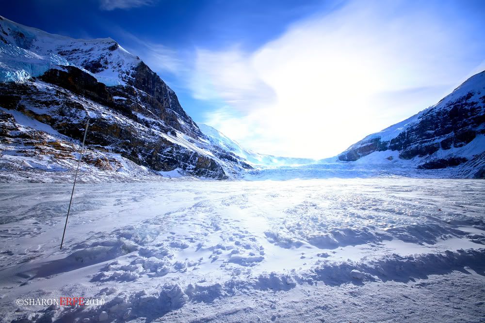
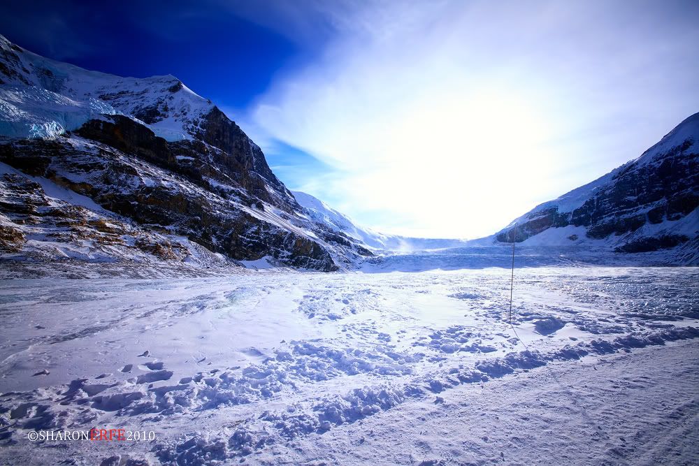
The Athabasca Glacier is one of the six principal 'toes' of the Columbia Icefield, located in the Canadian Rockies. The glacier currently recedes at a rate of 2-3 metres per year and has receded more than 1.5 km in the past 125 years and lost over half of its volume. The glacier moves down from the icefield at a rate of several centimetres per day. Due to its close proximity to the Icefields Parkway, between the Alberta towns of Banff and Jasper, and rather easy accessibility, it is the most visited glacier in North America. The leading edge of the glacier is within easy walking distance; however, travel onto the glacier is not recommended unless properly equipped. Hidden crevasses have led to the deaths of unprepared tourists.

The Icefield Interpretive Centre, closed during the winter (mid-October to mid-April), stands across from the glacier. It is used as a lodge and for ticket sales for sightseeing on the glacier. Standard buses transport tourists to the glacier edge, where they board specially designed snow coaches for transport over the steep grades, snow and ice part way up the glacier.
The glacier is approximately 6 km (3.75 miles) long, covers an area of 6 km² (2.5 mi²), and is measured to be between 90 metres (270 ft) and 300 metres (1000 ft) thick.

Some cold hard facts
* It is 6 km squared in area.
* It is 6km long.
* Its depth is 90-300m (270 – 1000 feet) – The ice is as thick as the Eiffel Tower is high.
* It has icefall movement of 125m / year (400ft)
* It has turn around movement of 25m/year (80 ft)
* The icefalls elevation is 2700m (8900ft)

Once, the Athabasca Glacier flowed north to the present site of Jasper before joining other glaciers and cruising south east past Calgary. This journey, much like trying to get through Vancouver in rush hour, took many centuries. The Athabasca is slowly flowing downhill from the Columbia Icefields similar to the flow of a river.
Thursday, October 28, 2010

Columbia Icefield


Midway between Jasper and Banff is one of the most popular attractions in Western Canada.

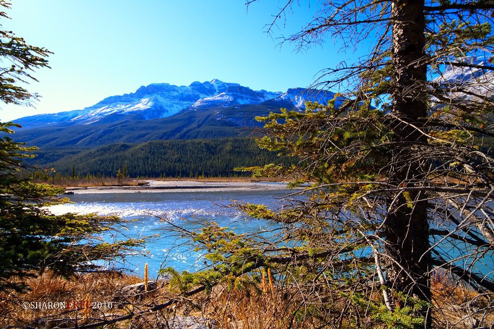
Athabasca Glacier is part of the masssive Columbia Icefields which are a vast reservoir of ancient water. The Icefields are the source of the headwaters of three rivers that flow to three different oceans (Arctic, Pacific and Atlantic). Nowhere else on Earth can you find such a phenomenon.

As the glaciers melt they are also sliding down the mountain sides and as they do so are crushing vast amounts of prehistoric rock into a fine powder, called rock flour. This powder floats into nearby lakes and rivers. It becomes suspended in the water and reflects light to our eager eyes. The colors are stunning and are different shades of blue, green and grey. Colors vary at different times of day and from lake to lake. It is a remarkable display that nature puts on for lucky travelers to the Canadian Rocky Mountains. 
Some cold hard facts. 
It covers 325km squared – making it comfortably the largest body of ice in the Rocky Mountains
* Its highest point is Mt. Columbia at 3745 m (12,284ft)
* The average elevation is 3000m (10,000 ft)
* The greatest estimated depth is 365m (1200 ft)
* The average snowfall is 7m (23 ft) every year.
* Uniquely it drains into the Pacific, Arctic and Atlantic Oceans.
The Columbia Icefields are considered one of the largest accumulations of ice and snow south of the Arctic Circle, and can reach depths of 2,000 feet. 

Wednesday, October 27, 2010

Rock and Colors


A view on highway AB 93 South on way to Jasper National Park, combining the chaste color of the rockies and plush shade of autumn. Artlessly A-OK!!! =)